
POPULATION AND GOVERNMENT – A GIS FOCUS
GIS layers and geographic classification built from our own data, since 1991. Census 1996 was a game-changer because it saw the integration of a fragmented race- based country towards one that envisioned institutional transformation, a new fiscal discipline and reconciliation. And the population was on the move.

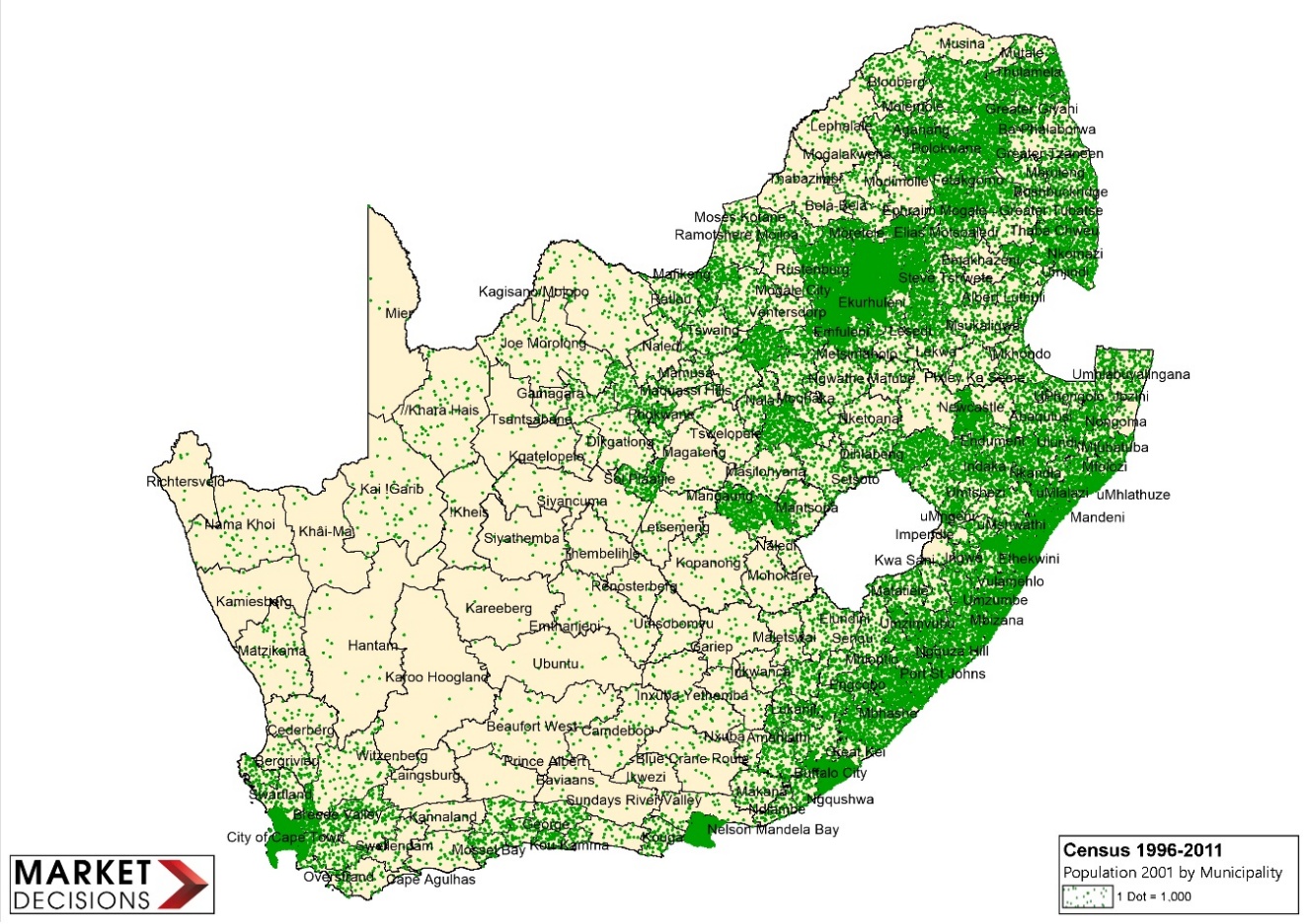

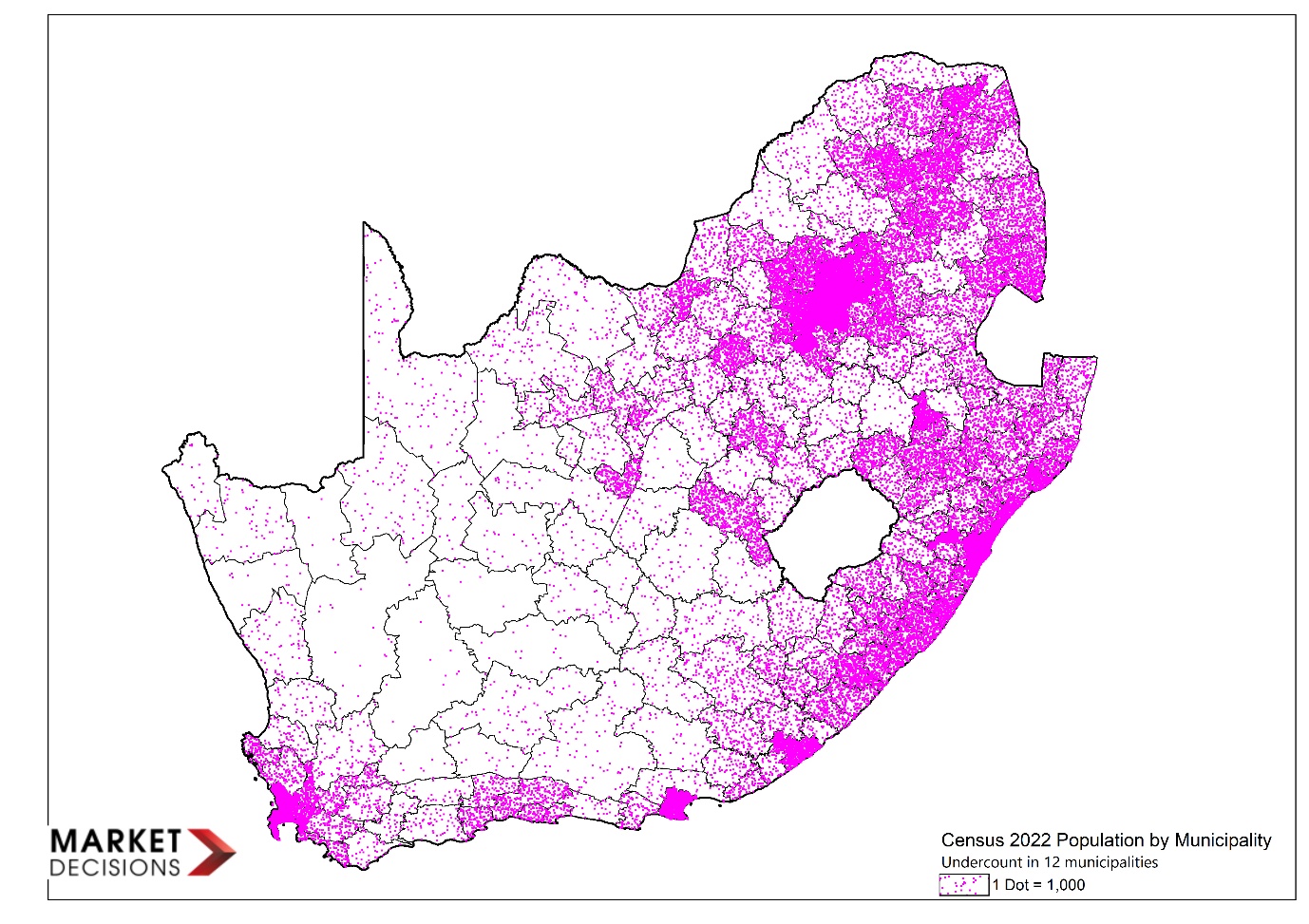

Population data affects planning, infrastructure, funding and investment. We examine the number, the geography and what is happening on the ground.
WE DON’T JUST USE DATA, WE QUESTION IT.
1996 - First Post Apartheid Census 9-10 October 1996 – Incorporating all the homelands – Undercount in the established areas.
2001 – Second census – 9-10 October 2001.Changes by Surveyor General. Major input from Statistics South Africa’s GIS department
2011 – Third Census – (10 October 2011) Continuation of updates accounting for undercounts through on-site research
2022 – Fourth Census - initially scheduled for October 2021, conducted Feb-May 2022
Occurrence after SARS-CoV-2, municipal comparison highlighted about 12 areas which we found to be major problem areas. Post enumeration survey reveal a high undercount. We are currently working on Ward Level data as this is what has been released.
Updates and Continuation: We rework all the data using Births, Deaths, Household Expenditure, Community Surveys, Migration, Urbanisation and population settlements using data from Local Government, Human Settlements and private developer data, with additional local area information from field staff. Our current initiative is Census 2022.
Geographic Classification differs between users, municipality and CSIR, ours worked on settlement & infrastructure and will change with the release of Census 2022 sub-place areas due to the expanded growth and settlement patterns.
Metro, Large Cities, Small Cities, Large Towns, Small Towns, Large Villages, Small Villages, Settlements
Discuss your requirements
Talk to us about coverage, reports and the information you need.
Contact our team →